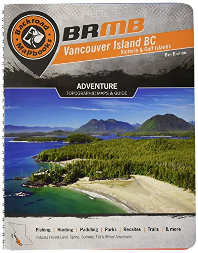
This comprehensive outdoor recreation guidebook is a new edition of the backroad mapbook that covers Vancouver Island, the Gulf Islands, and, on the mainland, the area north and northwest of Campbell River and north of Port Hardy and Port McNeil.
It includes 59 colour recreational GPS-compatible relief maps (1:150,000) and information on waterfalls and big trees to view; hiking, biking, and ATVing trails; lake, river, and ocean canoeing and kayaking routes; lake, river, and ocean fishing areas; camping sites; hot springs; parks and recreation areas; wildlife viewing areas; downhill skiing areas; cross-country and backcountry skiing areas; snowshoeing and snowmobiling areas; and more.


